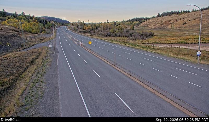
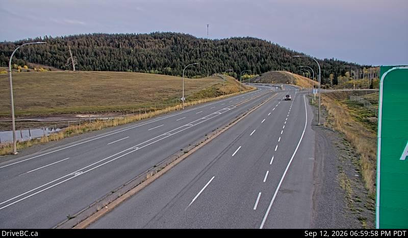
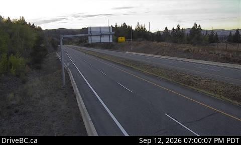
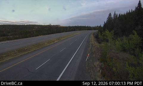
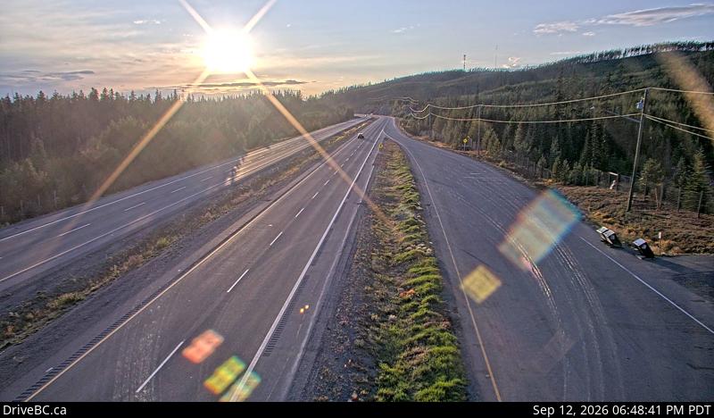
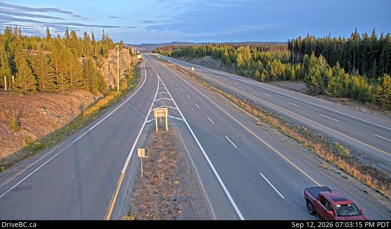
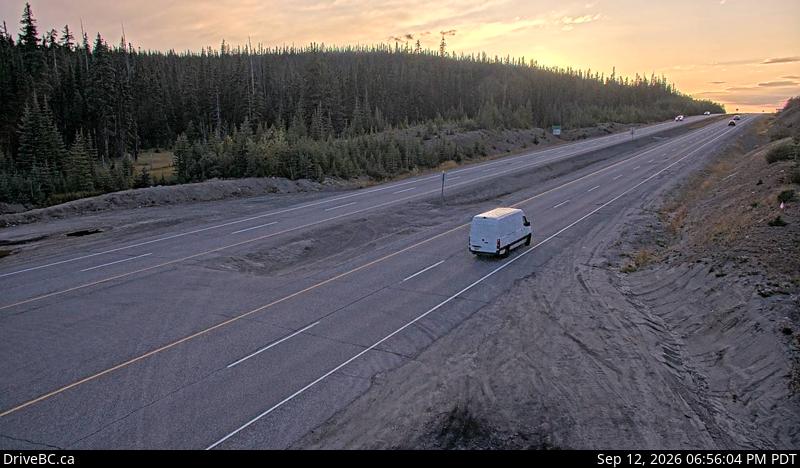
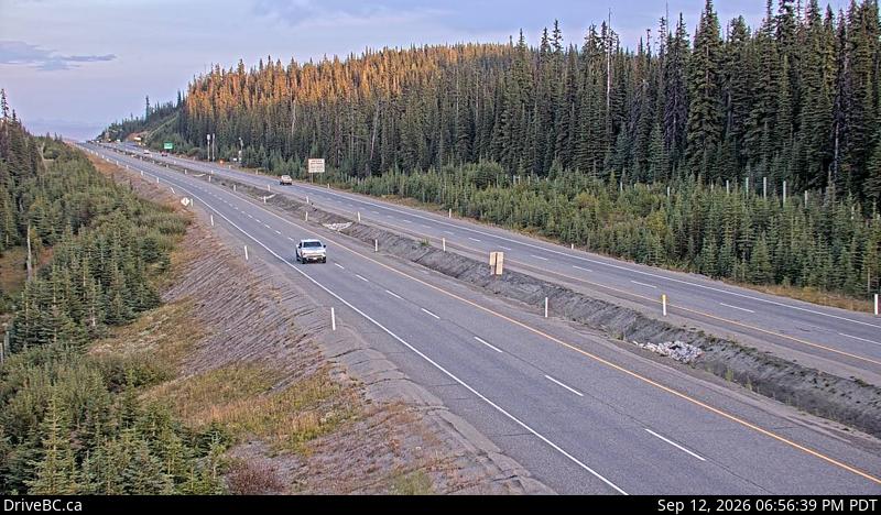
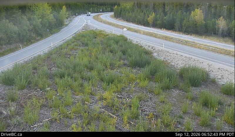
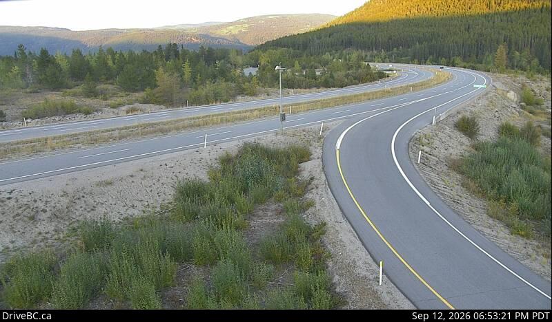
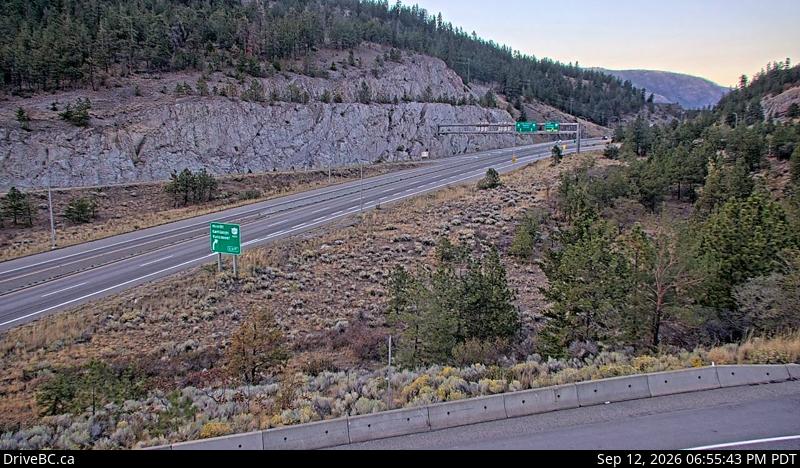
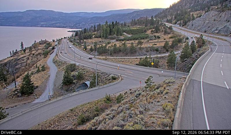
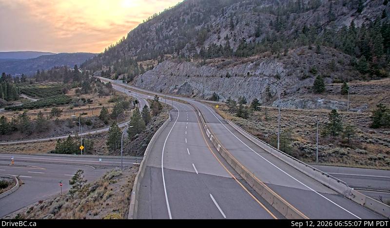
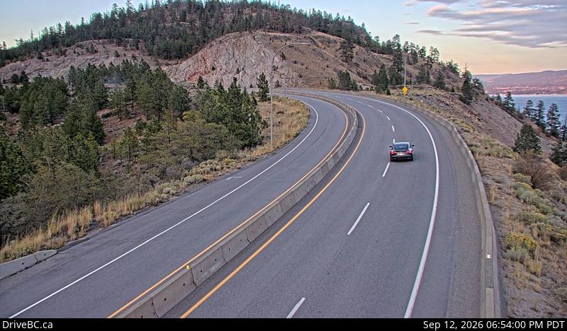
Free alerts the moment the Okanagan Connector closes
FreeFree, year-round closure alerts — no account, no password, unsubscribe anytime.
Push alerts on this device
Instant notification even when the tab is closed.
Driver reports
No driver reports yet. Official DriveBC data is the source of truth above.
FAQ
What is the Okanagan Connector?
The Okanagan Connector is Highway 97C between Merritt and West Kelowna, BC, via Pennask Summit (elevation 1,728 m — one of the highest highway summits in British Columbia). It's the fastest link between the Nicola Valley and the Central Okanagan, and because of its elevation and exposure it sees severe winter conditions: heavy snow, drifting, blowing snow, and freezing fog well into spring.
How current is this information?
The status here is refreshed from DriveBC's official Open511 feed every 5 minutes. Official data can lag fast-moving incidents by a few minutes, which is why we also show driver reports below the official status.
What's the alternate route when the Okanagan Connector is closed?
Two practical detours, both adding hours: (1) Highway 5 (Coquihalla) + Highway 1 + Highway 97 north via Kamloops and Vernon into Kelowna, or (2) Highway 5A south to Princeton then Highway 3 (Crowsnest) east through Keremeos and Penticton. Both are much longer than the Connector, and Highway 3 crosses two more mountain passes that can themselves be affected in winter.
Is this site free?
Free to check, free email alerts, no account required. We run a small number of hand-placed local sponsorships — no programmatic ads, no retargeting pixels, no third-party tracking scripts, ever.
Where does this data come from?
DriveBC's public Open511 API (api.open511.gov.bc.ca). We filter to events on the Highway 97C corridor between Aspen Grove and the Peachland junction and classify them as open, delayed, or closed.
Why might one direction show differently than the other?
The Connector is east-west: eastbound is toward Kelowna, westbound is toward Merritt. Incidents like single-lane closures, construction, crashes, avalanche control, or wildfires often only affect one direction. When eastbound and westbound don't match, we split the banner so you see each direction's status independently.